Pamirs Plateau Travel Guide
The Road of the Onion Mountains: Muztagh, Karakul Lake, and the Panlong Ancient Trail
From Kashgar along the China-Pakistan Friendship Highway to the Pamirs: White Sand Lake, Karakul Lake, Muztagh Peak, Tashkurgan Stone City, and Panlong Ancient Trail. This article explains how to arrange a two-day itinerary, how to handle border permits, and how to adapt to the altitude.
This site only handles information compilation and itinerary design; prices and bookings are based on final confirmation.
Destination Details
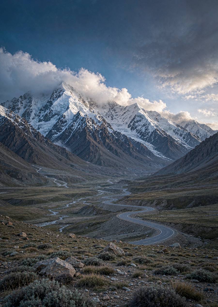
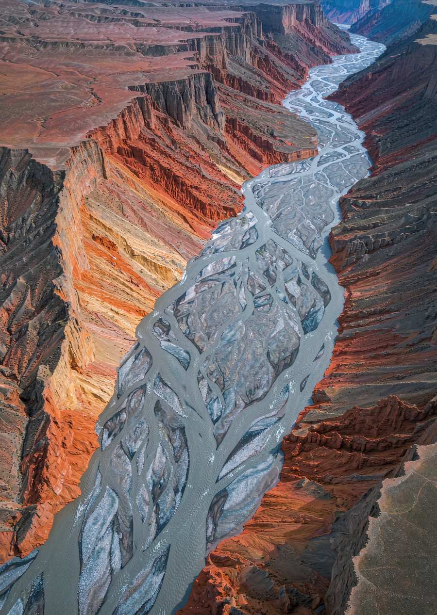
Pamir Plateau, historically known as the Congling Mountains, is the biggest obstacle to crossing the Silk Road. Today, the China-Pakistan Friendship Highway (G314) has turned it into one of the most spectacular road trips in the world: driving from Kashgar at 1,300 meters to Yakou at 4,000 meters in one day, with snow-capped mountains, sand dunes, and plateau lakes lined up in sequence
A classic two-day itinerary
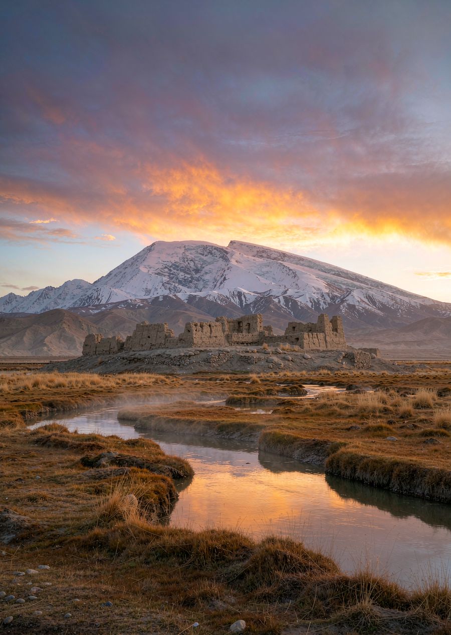
- Day 1: Depart Kashgar — Baisha Lake (Bulunkou) — Karakul Lake (reflection of Muztagh Peak) — Tashkurgan County seat, stay overnight in Tata County
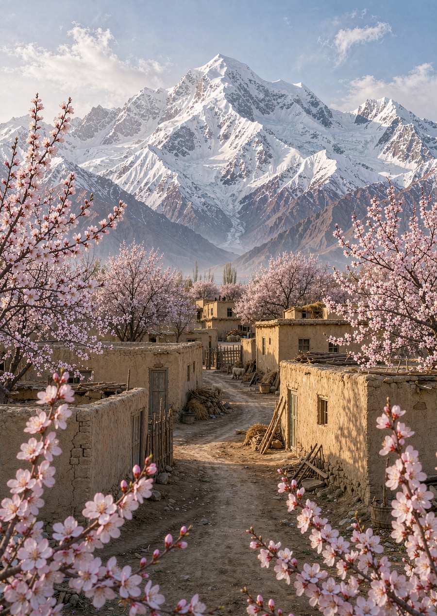
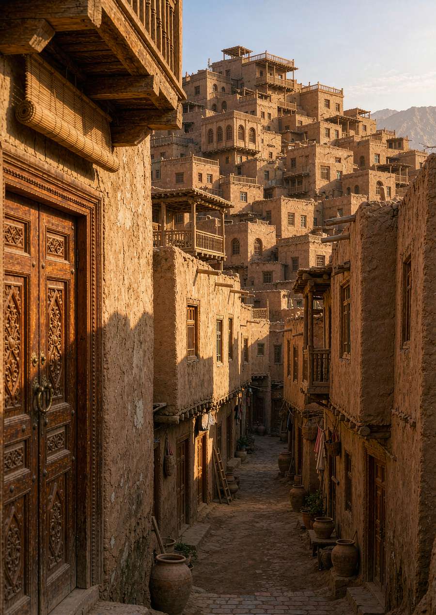
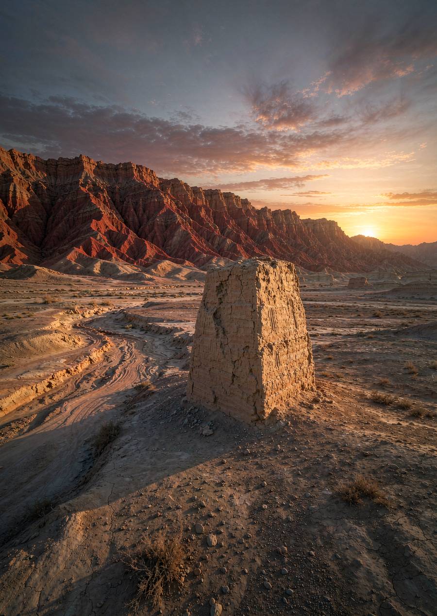
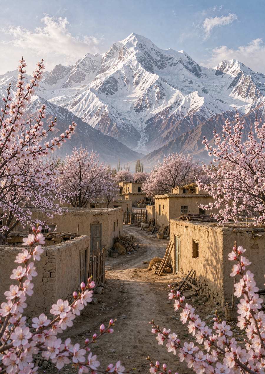
- Day 2: Sunrise at Shitou City and Jincaotan — Panlong Ancient Trail (over 600 winding mountain roads) — Xinghua Village, Waqia Township (if the season is right) — return to Kashgar If
- you have enough time, add one day: Visiting Tajiks in the direction of the Khunjerab Gate (opening status to be confirmed separately) or Tajiks around Tajikistan
Border Guard Permit and Procedures
Tashkurgan is a border management zone and requires a border permit: you can apply in advance at the entry-exit administration department of your place of residence, or go to Kashgar with your ID card/passport to process it on-site; The rules for foreign travelers passing through ports and at the document processing window differ from those for Chinese citizens. Be sure to confirm with the host in advance and not wait until the day of departure to process your documents
Altitude and season
Ta County is at 3100 meters above sea level, Karakul Lake at 3600 meters, and the highest point of the Panlong Ancient Trail is over 4200 meters: sleep well the night before, drink more water and less alcohol on the day, and slow down; Travelers with underlying cardiovascular or cerebrovascular conditions should consult a doctor first. The season is open from May to October; Late March to early April blooms in Xinghuagou during a special period; Some sections of the road are restricted in winter, so road conditions must be checked
Notes
Mountain weather can be unpredictable, and it can snow in summer, so bring your outdoor jacket and insulation; Gas stations are in Taxian County, so fill up the tank before departure; Restroom conditions along the way are average, so you should adjust your mind in advance