Southern Xinjiang Cultural Circuit 10 Days
The grand cultural circuit of southern Xinjiang entering and exiting Kashgar: an···
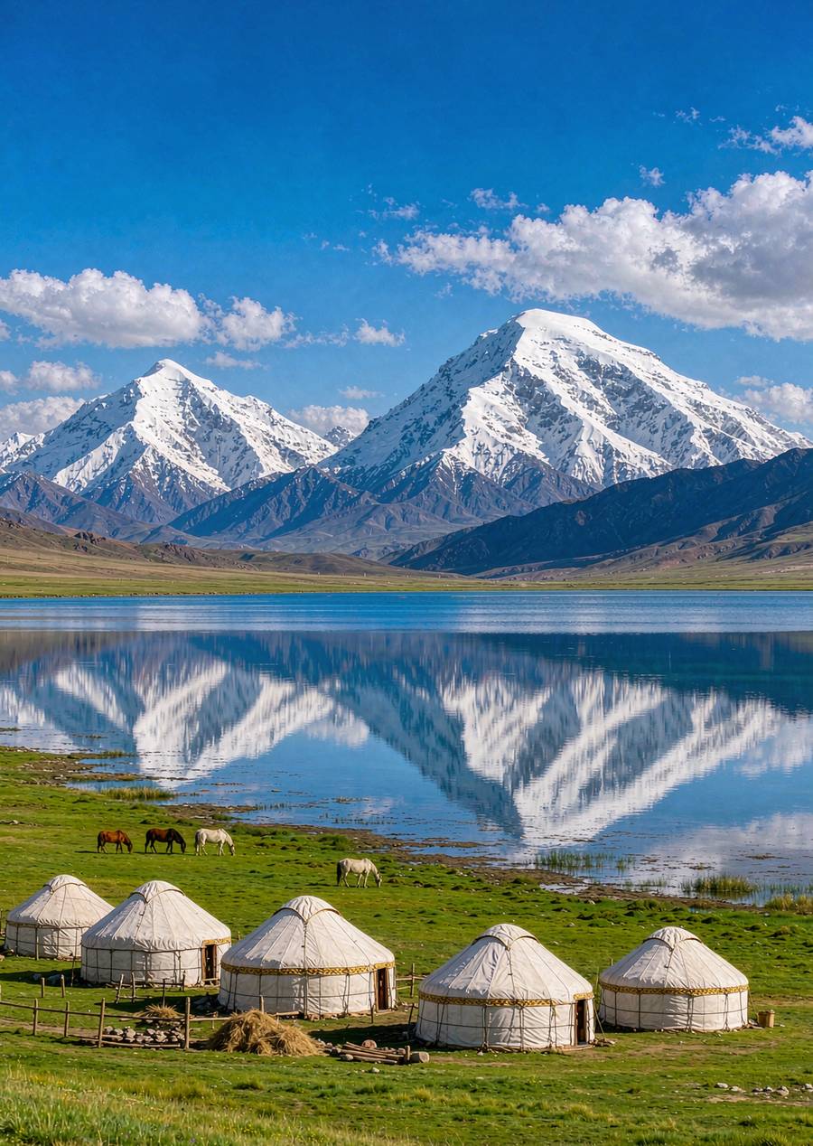
All mentions within the site「Karakul Lake」the content
The grand cultural circuit of southern Xinjiang entering and exiting Kashgar: an···
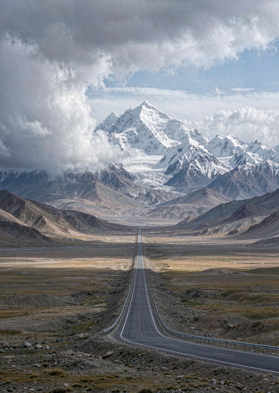
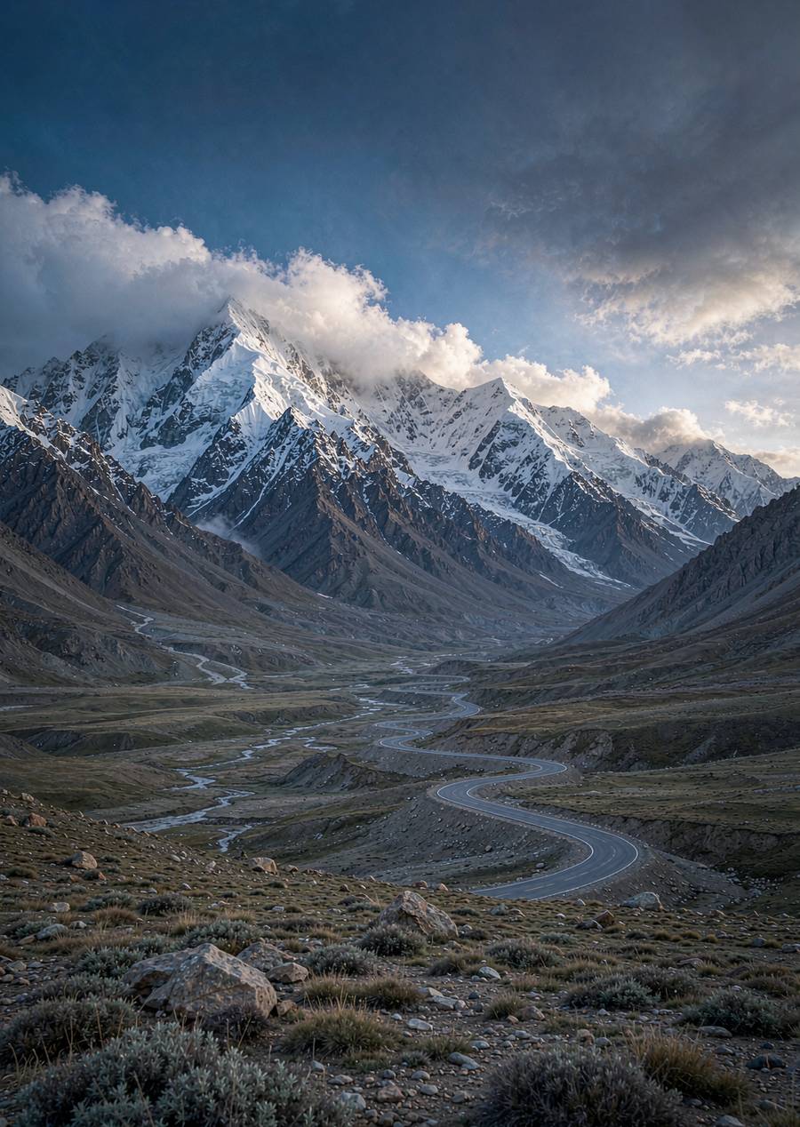
Pamir Plateau Long Route: Lakes and peaks of the China-Pakistan Friendship Highw···
The altitude of Ta County is about 3,100 meters, and Karakul Lake is 3,600 meters. Most people only experience mild head···
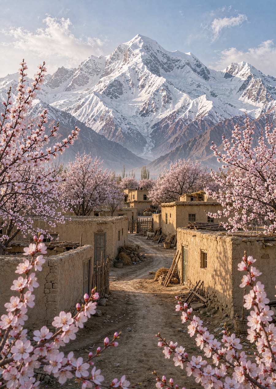
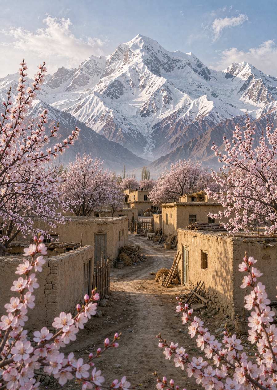
Special edition of the Pamir apricot blossoms at the end of March and beginning ···
How to go to the Pamirs: key points along the minibus route departing from Kashg···
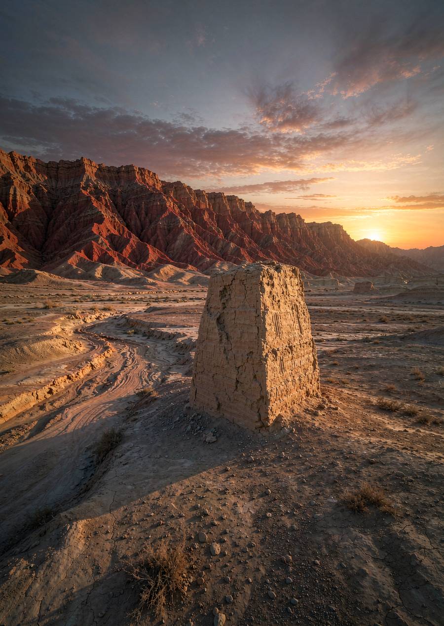
Nine days on the Silk Road in Xinjiang sorted by site readability: earthen ancie···
The county town of Tashkurgan is at an altitude of about 3,100 meters, and the Khunjerab Pass section exceeds 4,700 mete···
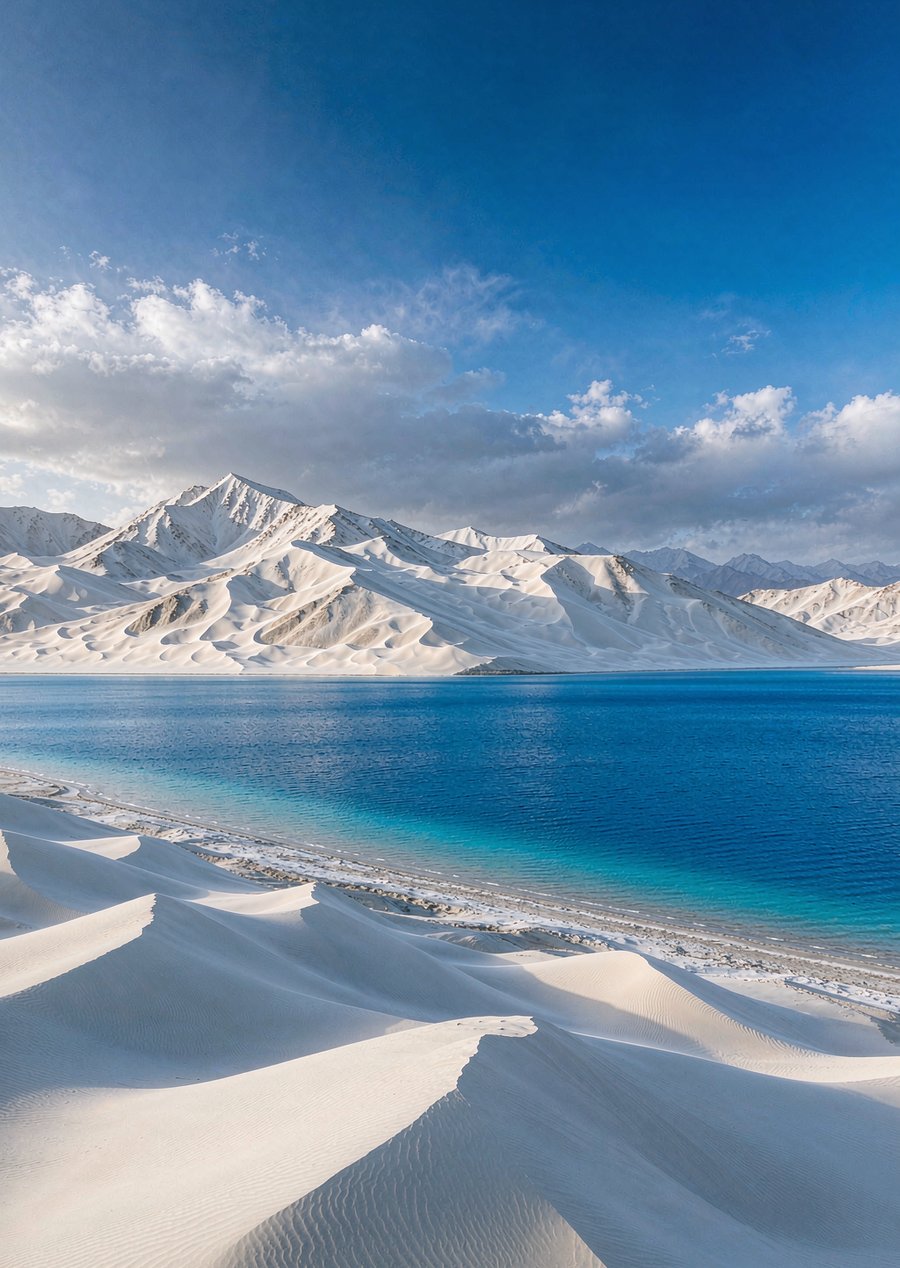
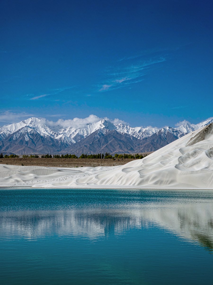
From Kashgar along the China-Pakistan Friendship Highway to the Pamirs: White Sa···
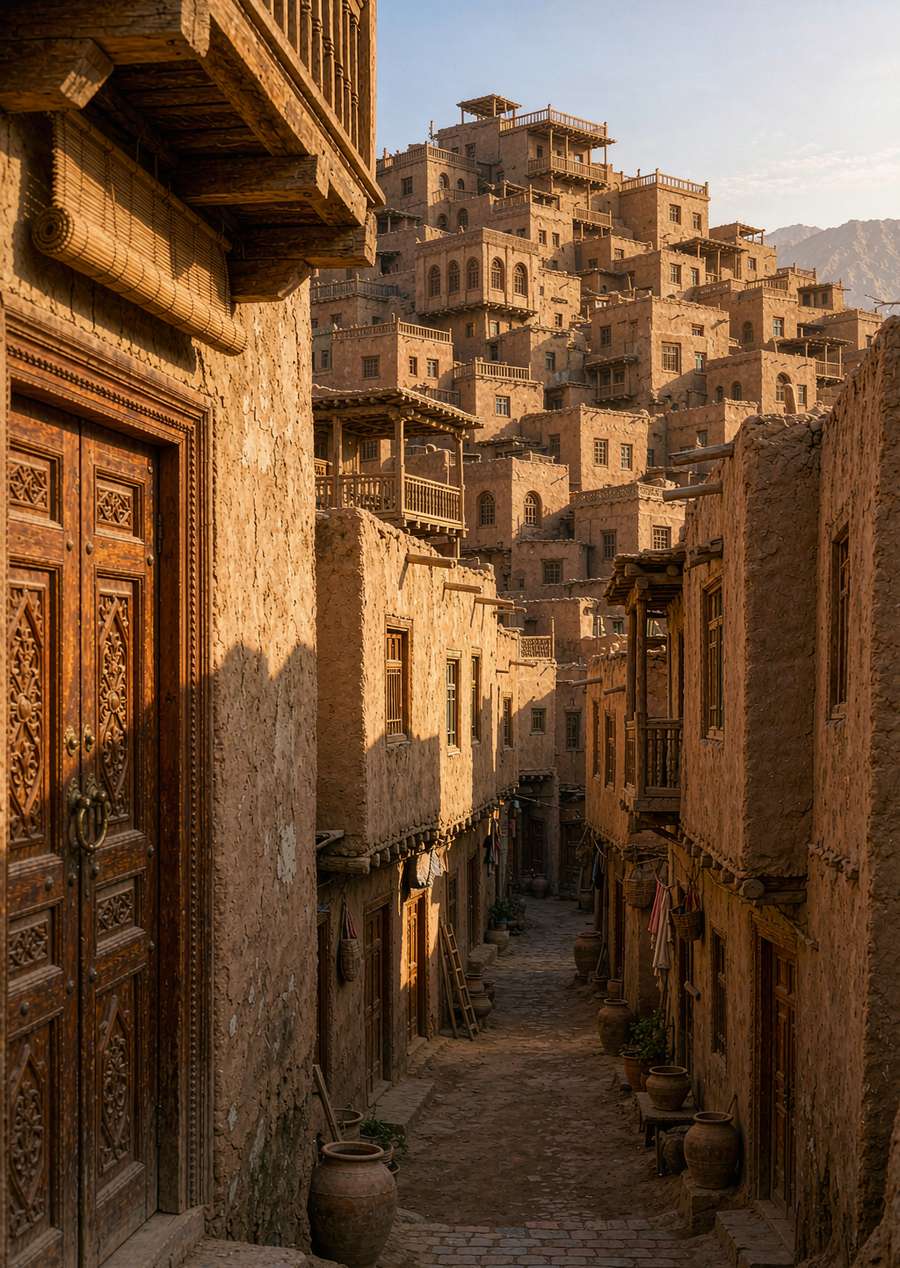
The top choice for entering southern Xinjiang: stay three nights in Kashgar Old ···
Heiqi Lake on the Pamir Plateau at an altitude of 3,600 meters: Muztagh Peak and···
Deep into the Pamirs along National Highway 314: White Sand Lake, Karakul Lake, ···
The route with the most holidays: the Northern Xinjiang Kanas loop + Duku Highwa···
Pamir is more than just scenery: visiting Tajik families to see eagle flutes and···
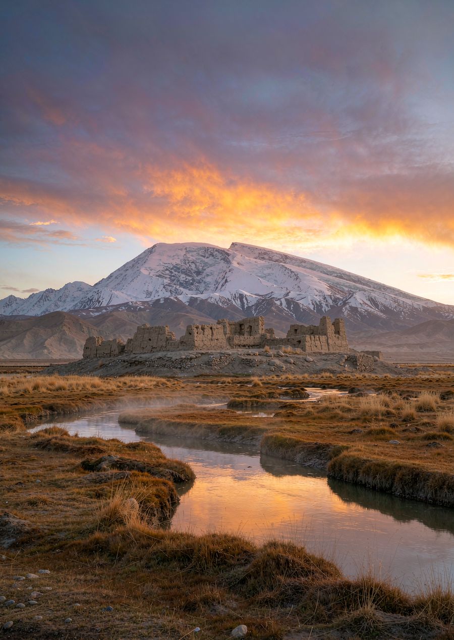
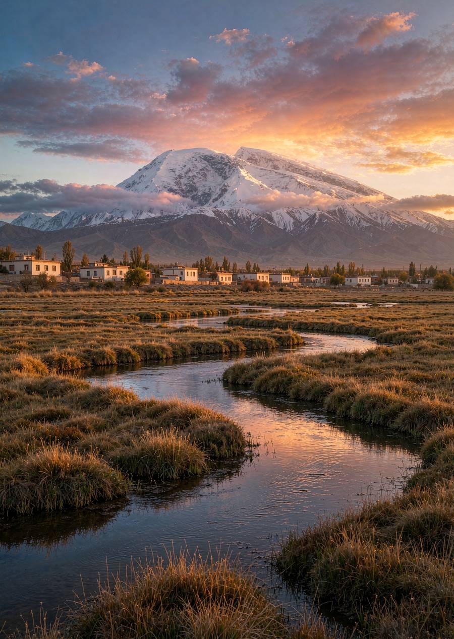
Tahaman Wetland is north of Tashkurgan: Muztagh Peak is reflected in the streams···
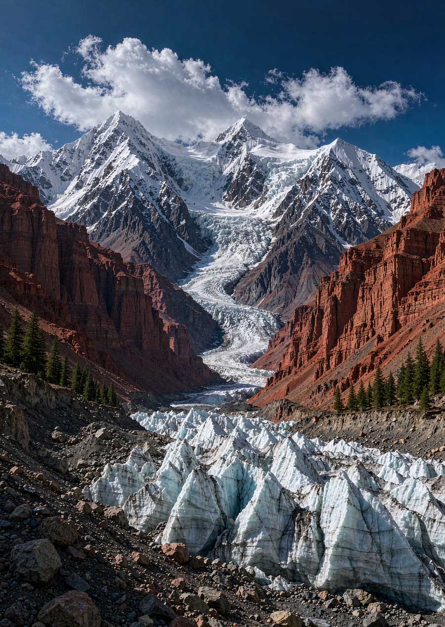
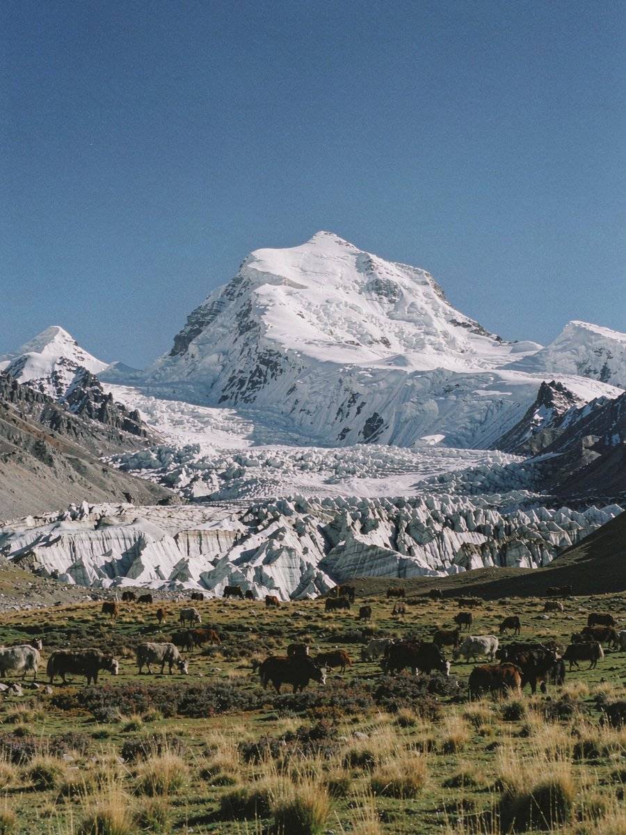
Ouyitak Glacier Forest Park in Akto County: The glacier's terminus is right befo···
Muztagh Ata has an elevation of 7,546 meters, and its dome-shaped mountain, cove···
Baisha Lake is a pool of clear water beside National Highway 314 on the Pamir Pl···