Khunjerab Pass Travel Guide
Between the national gate and the glacier snow ridge
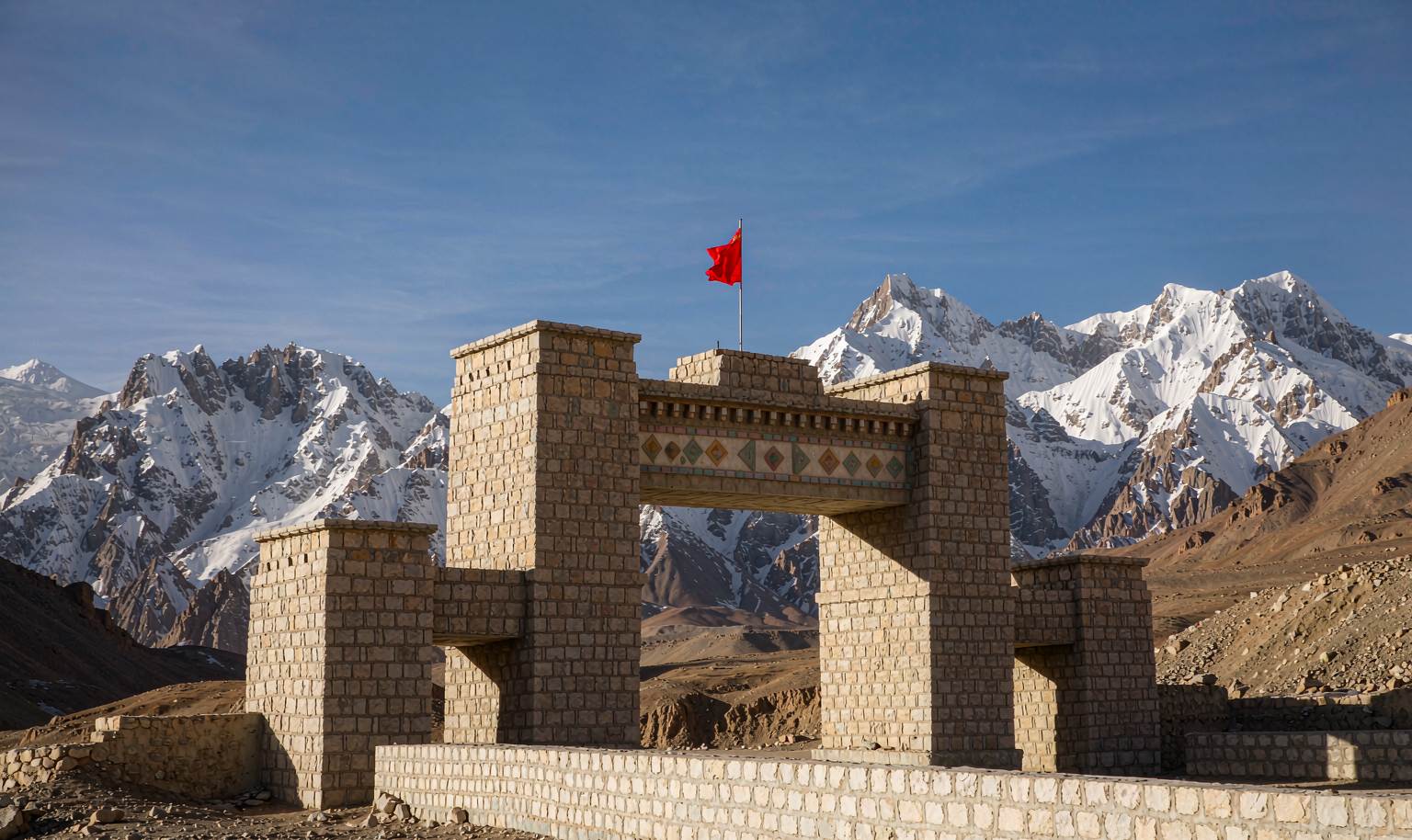
Khunjerab is the location of the national border gate between China and Pakistan, with an altitude of about 4,700 meters, and is known as one of the highest border crossings in the world. Along the China-Pakistan Friendship Highway winding up the Pamirs, snowy mountains and glaciers accompany the journey, and the boundary marker in front of the national gate is the scene where most people line up to take photos.
This site only handles information compilation and itinerary design; prices and bookings are based on final confirmation.
Destination Details
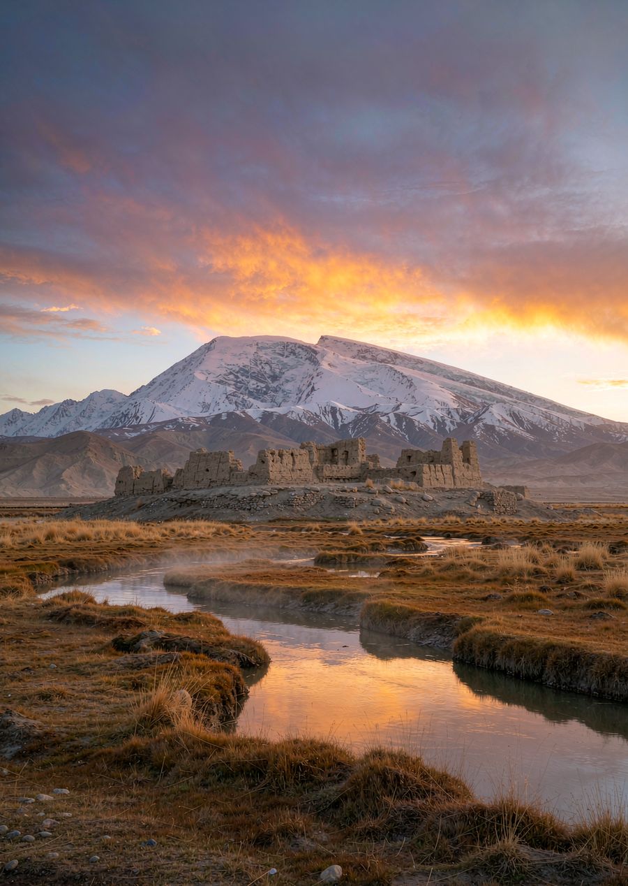
From Tashkurgan County to the national border is about over 100 kilometers. Along the way is the most classic scenic belt of the Pamirs: Baisha Lake, the Mustagh Glacier, and the Tahaman Wetland are all on this route. The opening status of the border varies according to border management adjustments, so be sure to confirm whether you can reach the boundary marker on the day before your trip.
How to Get There
- A one-day round trip from Tashkurgan County is most common. The sequence along the way is: Baisha Lake → Mustagh Peak → National Border
- A border pass is required (can be obtained in Tashkurgan County), and you need to bring both your passport and ID card
- High altitude, move slowly, and prepare warm clothing — the national border is windy and cold
If you experience headache or chest congestion at high altitude, do not force yourself. Follow the instructions of the border personnel in the border area, and queue in an orderly manner for photos in front of the boundary marker.